Издательство: Издательство ЯНЦ СО РАН
Год выпуска: 2007
Количество страниц: 12 с.
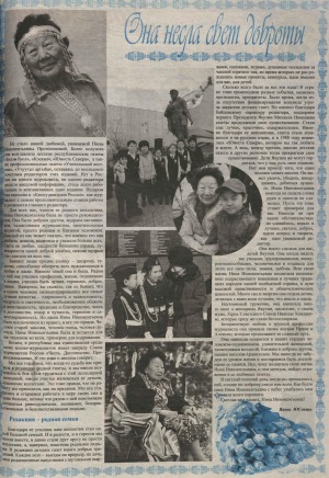
Источник: Юность Севера. - 2015. - 2 октября. - С. 3.
Количество страниц: 1 с.
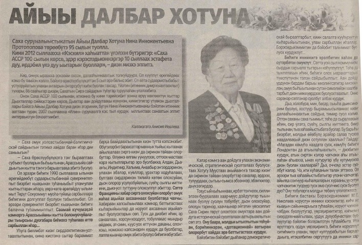
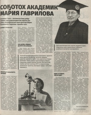
Источник: Ил Түмэн. - 2022. - Кулун тутар 4 күнэ (N 8) (2328). - C. 7.
Количество страниц: 2 с.
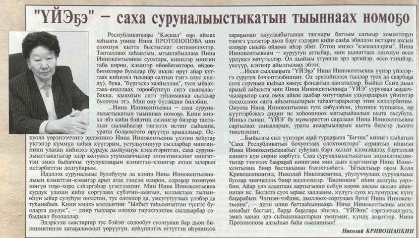
Источник: Үйэ. - 2013. - N 3 (12). - C. 18.
Количество страниц: 1 с.
Издательство: Вилюйская типография
Год выпуска: 1981
Количество страниц: 20 с.
Количество страниц: 9 с.
- Общий отдел > Информационные технологии. Вычислительная техника,
- Краеведение. Археология. География. Биографии. История > Общие вопросы. География как наука. Географические исследования,
- НАУКА ЯКУТИИ > ОБЩИЙ ОТДЕЛ > Информационные технологии. Вычислительная техника,
- НАУКА ЯКУТИИ > КРАЕВЕДЕНИЕ. ГЕОГРАФИЯ. БИОГРАФИИ. ИСТОРИЯ > Общие вопросы. География как наука. Географические исследования.
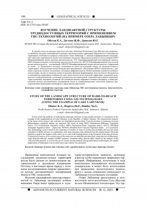
In this article the problem of studying the landscape structure of inaccessible territories is considered on the example of the neighbourhood of Lake Labynkyr in the Republic of Sakha (Yakutia). The characteristic features of the nature of the unique Lake Labynkyr are highlighted and described. From the position of landscape structure differentiation vegetation indices are analysed. The result of using NDVI (Normalised Difference Vegetation Index), TVI (Transformed Vegetation Index), NRVI (Normalised Ratio Vegetation Index), MTVI2 (Modified Triangular Vegetation Index - improved), MSAVI2 (Modified Soil Corrected Vegetation Index - 2) is presented. The methodology used is based on the experience of studies of areas of similar inaccessibility and uses the raster calculator of QGIS software in combination with slope steepness data obtained from the digital model. Particular attention is paid to the features of the relief, as it is one of the leading factors in the formation of the type of terrain. Characteristic features of five terrain types of the study area are identified and described: slope deluvial-solifluctional, slope deluvial-colluvial, moraine (foothill moraine), mountain-valley, glacial-valley. Based on the analysis of the collected field material, as well as the use of remote sensing methods and geoinformation technologies, the spatial organisation of landscapes was revealed and a map scheme was presented.
Обутов, К. А. Изучение ландшафтной структуры труднодоступных территорий с применением ГИС-технологий (на примере озера Лабынкыр) / Обутов К. А., Дегтева Ж. Ф., Данилов Ю. Г. ; Северо-Восточный федеральный университет им. М. К. Аммосова // Успехи современного естествознания. - 2023. - N 12. - С. 146-154. - DOI: 10.17513/use.38185
DOI: 10.17513/use.38185
Источник: Саха сирэ. - 2019. - Ахсынньы 5 күнэ (N 47). - С. 41
Количество страниц: 1 с.
Издательство: ЯНЦ СО РАН
Год выпуска: 2009
Количество страниц: 36 с.
Количество страниц: 6 с.
Протодьяконова, Г. П. Школа ученых ветеринаров ВАСХНИЛ / Г. П. Протодьяконова ; Арктический государственный агротехнологический университет // Вестник АГАТУ. - 2023. - N 4 (12). - C. 1-6.
Источник: Олох суола. - 2013. - Сэтинньи 6 күнэ. - С. 3.
Количество страниц: 1 с.